Maps and pictures of the IPIX Radar at OHGR/Dartmouth
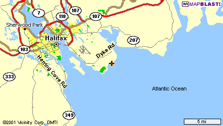
 | Overview map
| Topo map
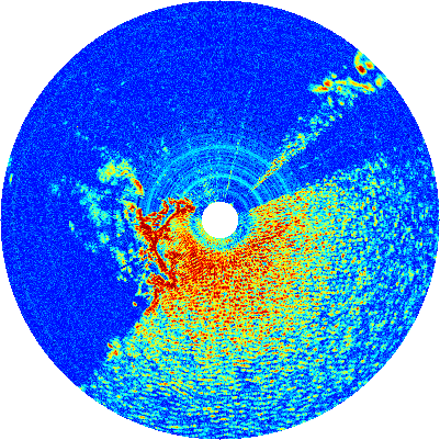
| Radar Scan
| Pictures
| Overview map
| Topo map
| Radar Scan
| Pictures
Maps and pictures of the IPIX Radar at OHGR/Dartmouth
| Overview map
| Topo map
| Radar Scan
| Pictures
|
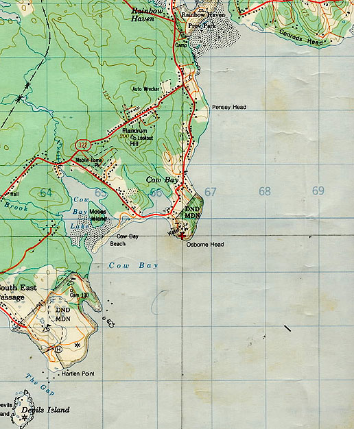
| Created from file 13: 19931106_183151_surv.cdf. Inner radius 501, outer radius 5991 m. Note the 130° open ocean view, the shoreline of Cow Bay (dark red), and the blocked view north/west of the radar. Compare to same-scale topo map section on the right. | |
| 
|
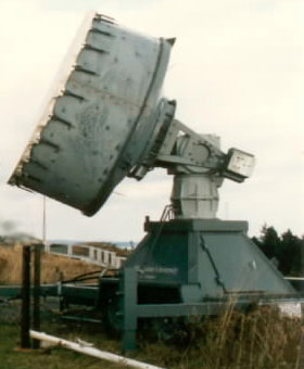
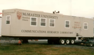
| Radar antenna, 3 m diameter. | Radar control trailer. |
|---|---|
| 
|
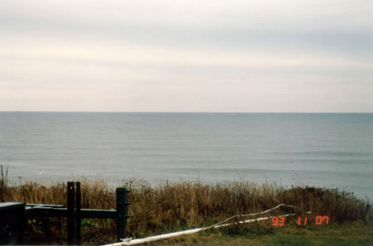
| Calm Atlantic ocean, 100 feet down below. |
|---|
|
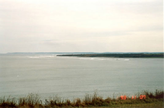
| Cow bay on a calm day. |
|---|
|